I went to the 985 breakfast and chatted lots of Vic and Jerry.
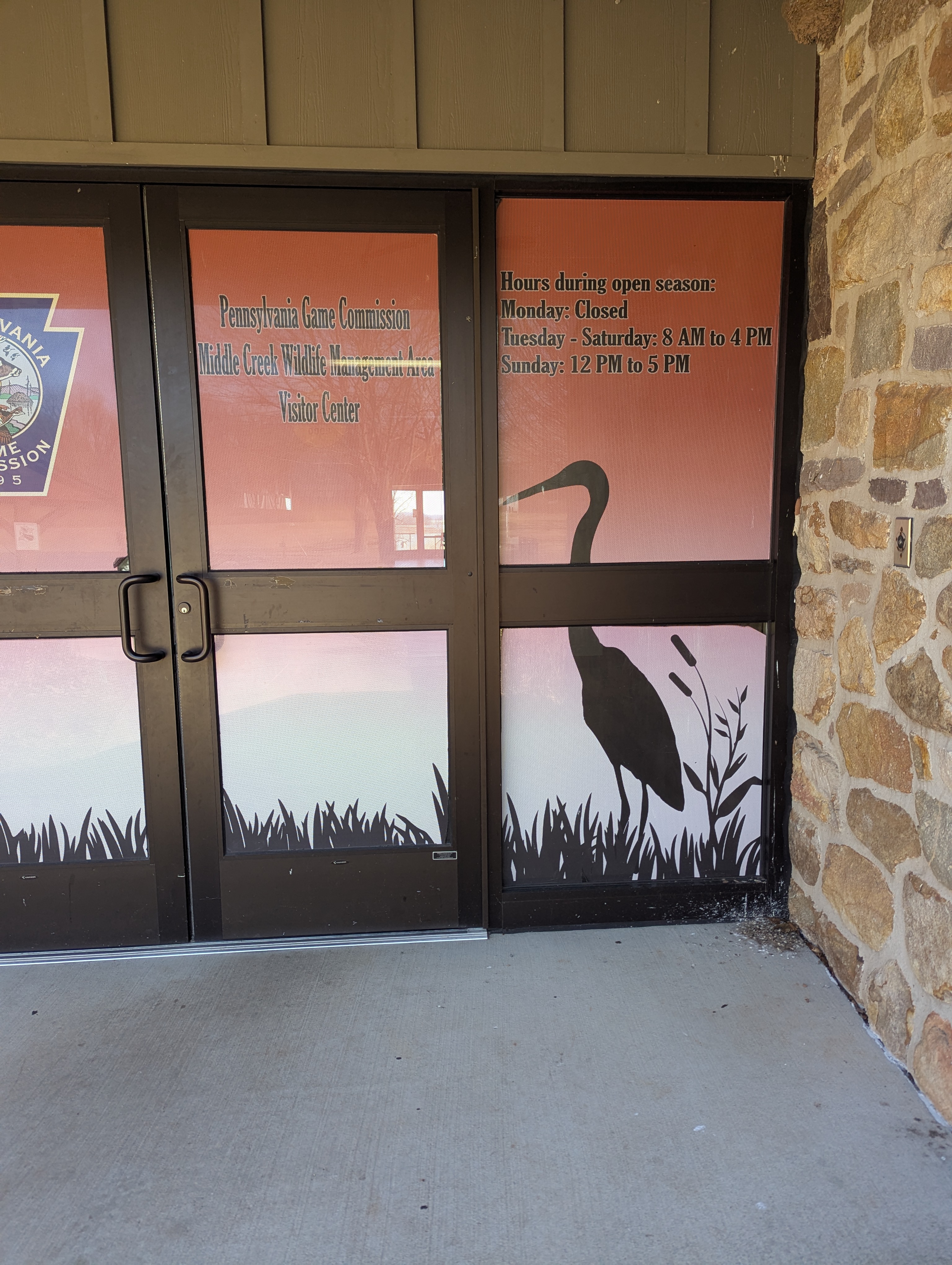
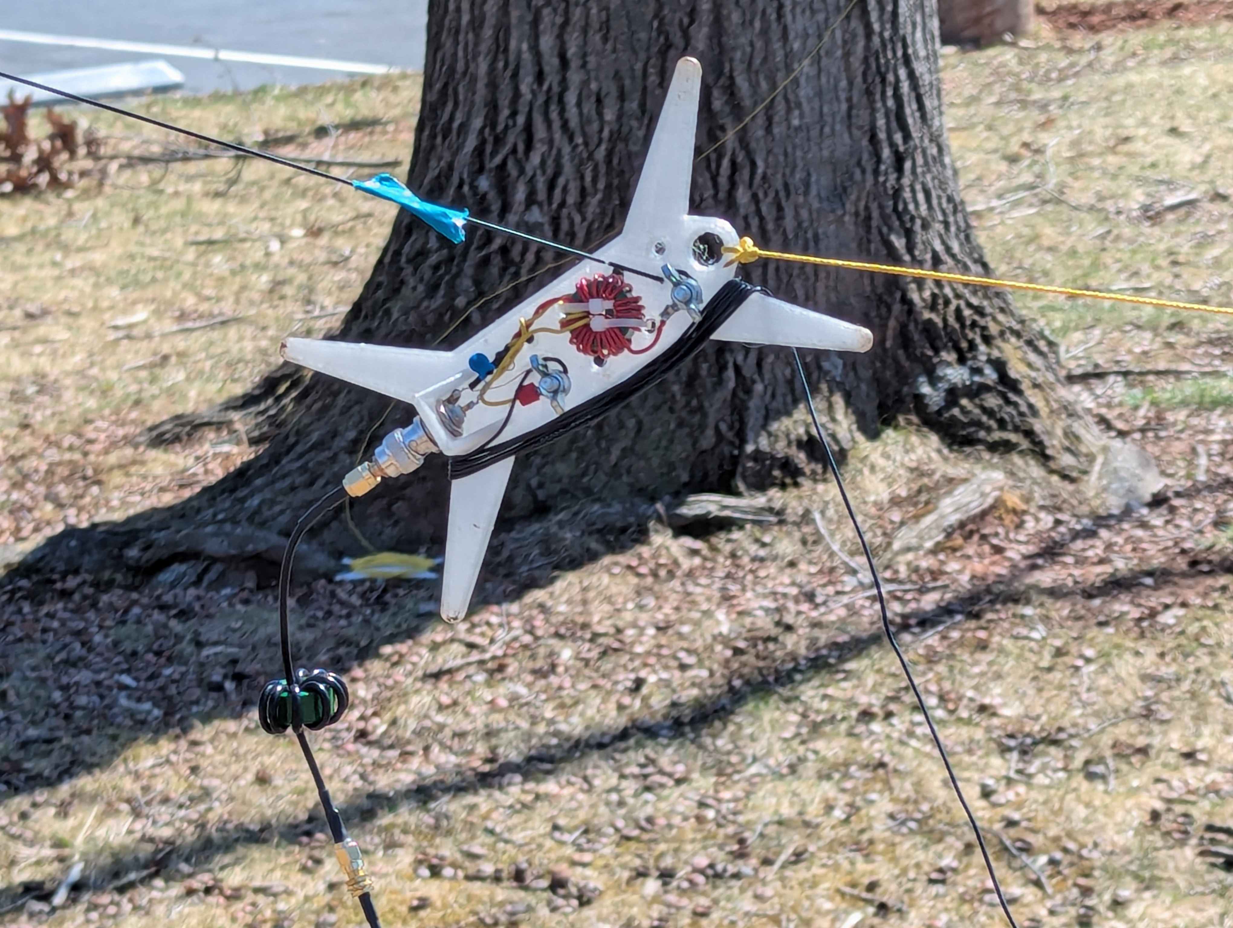
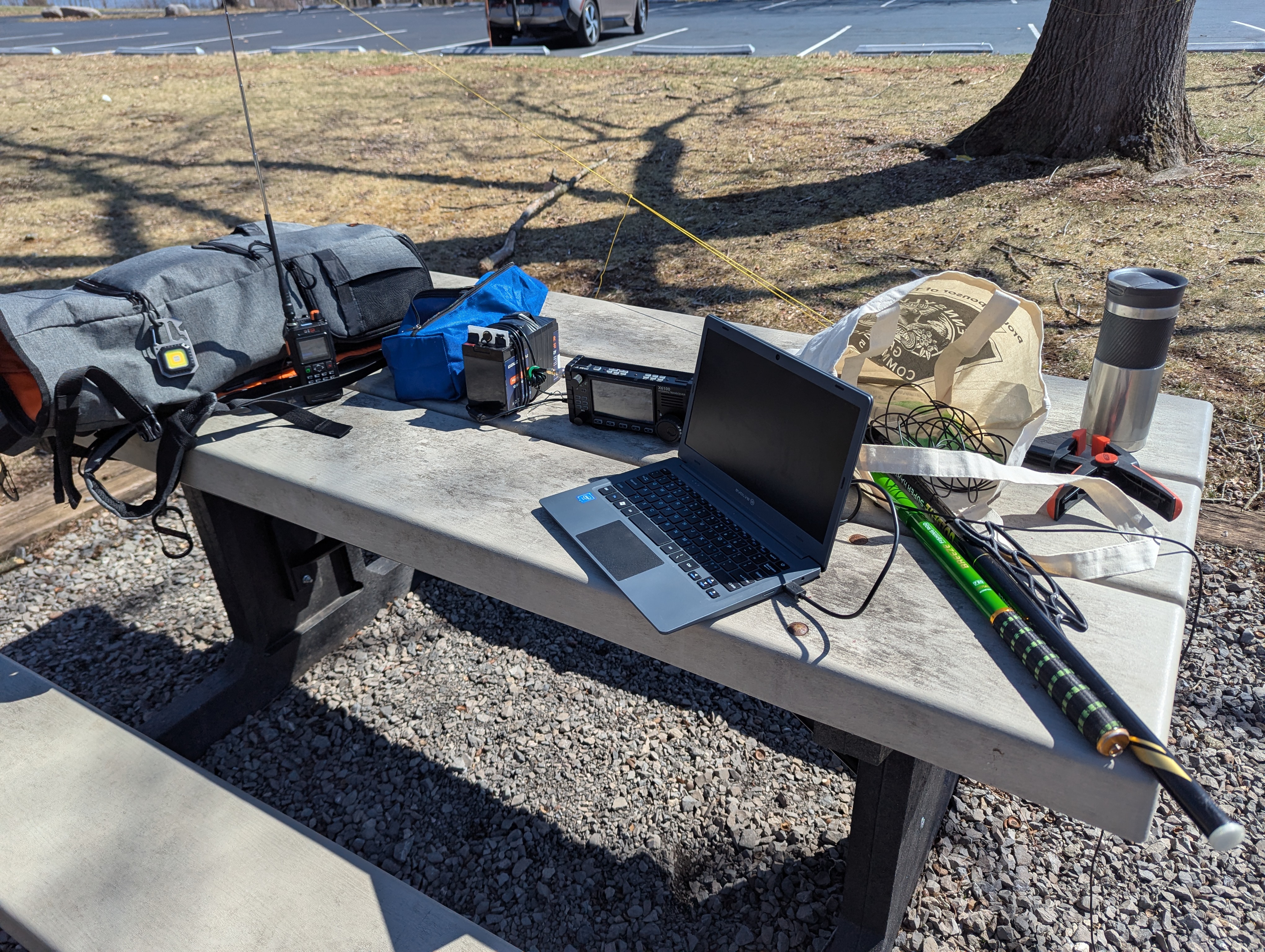
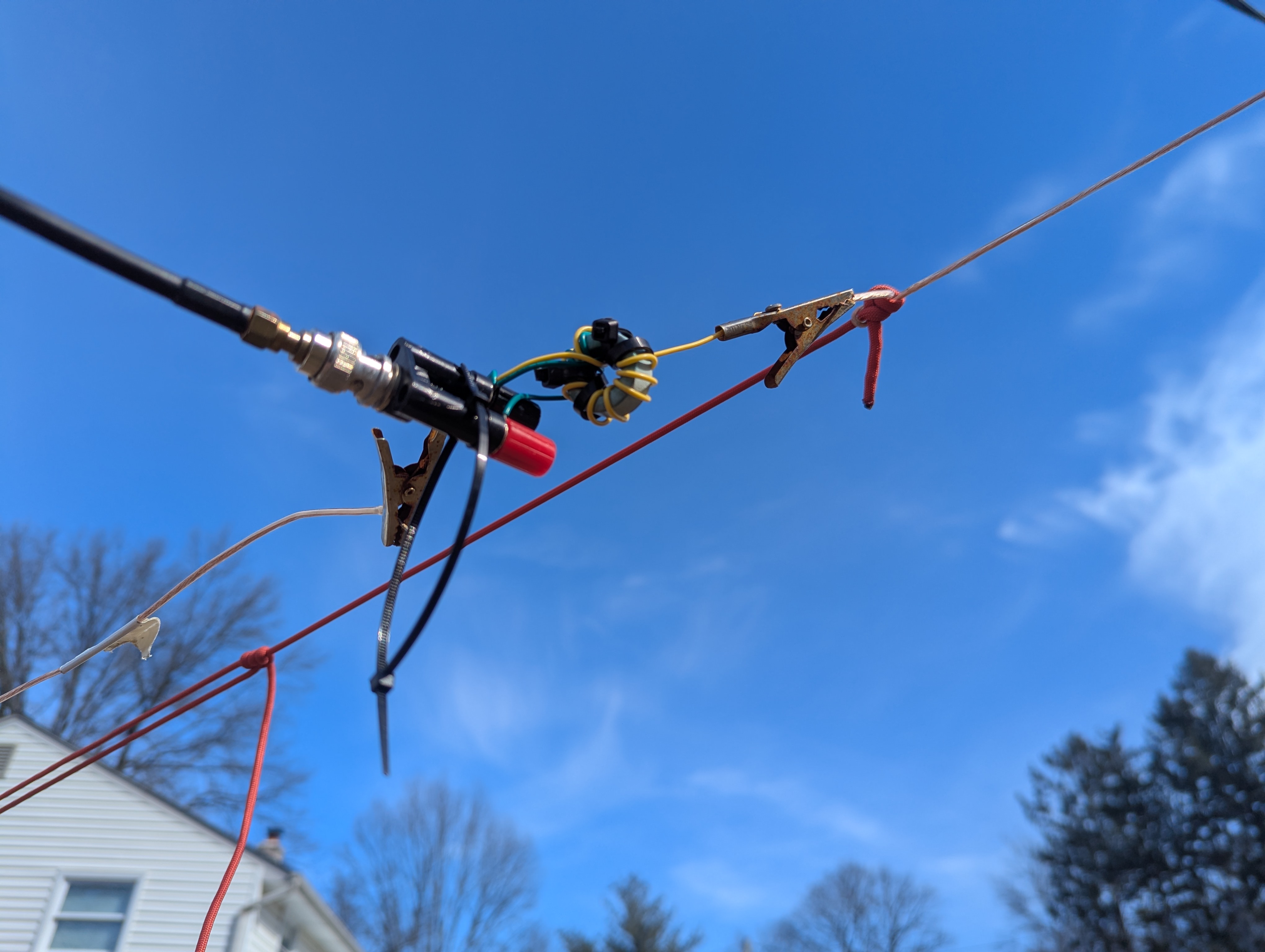
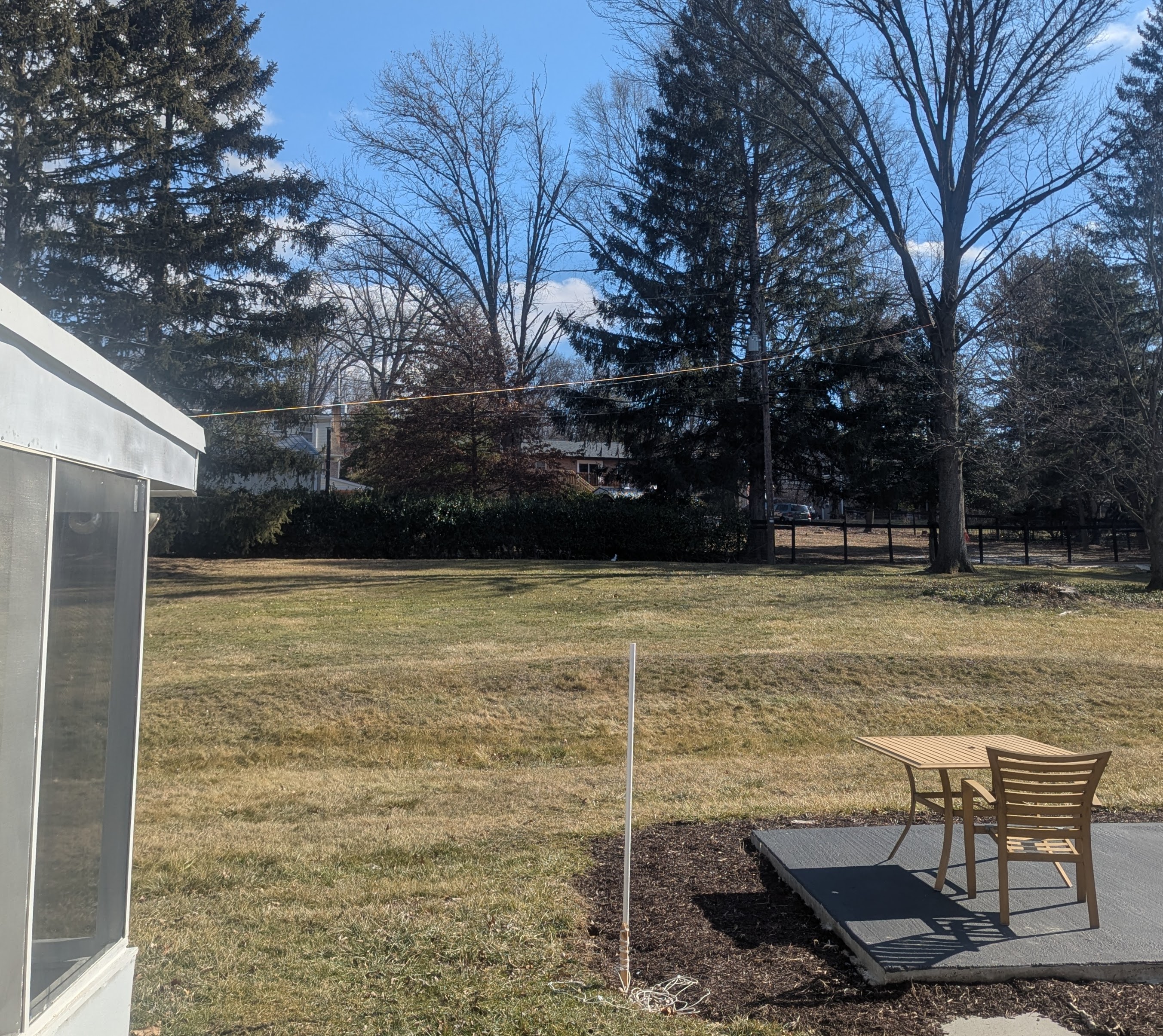
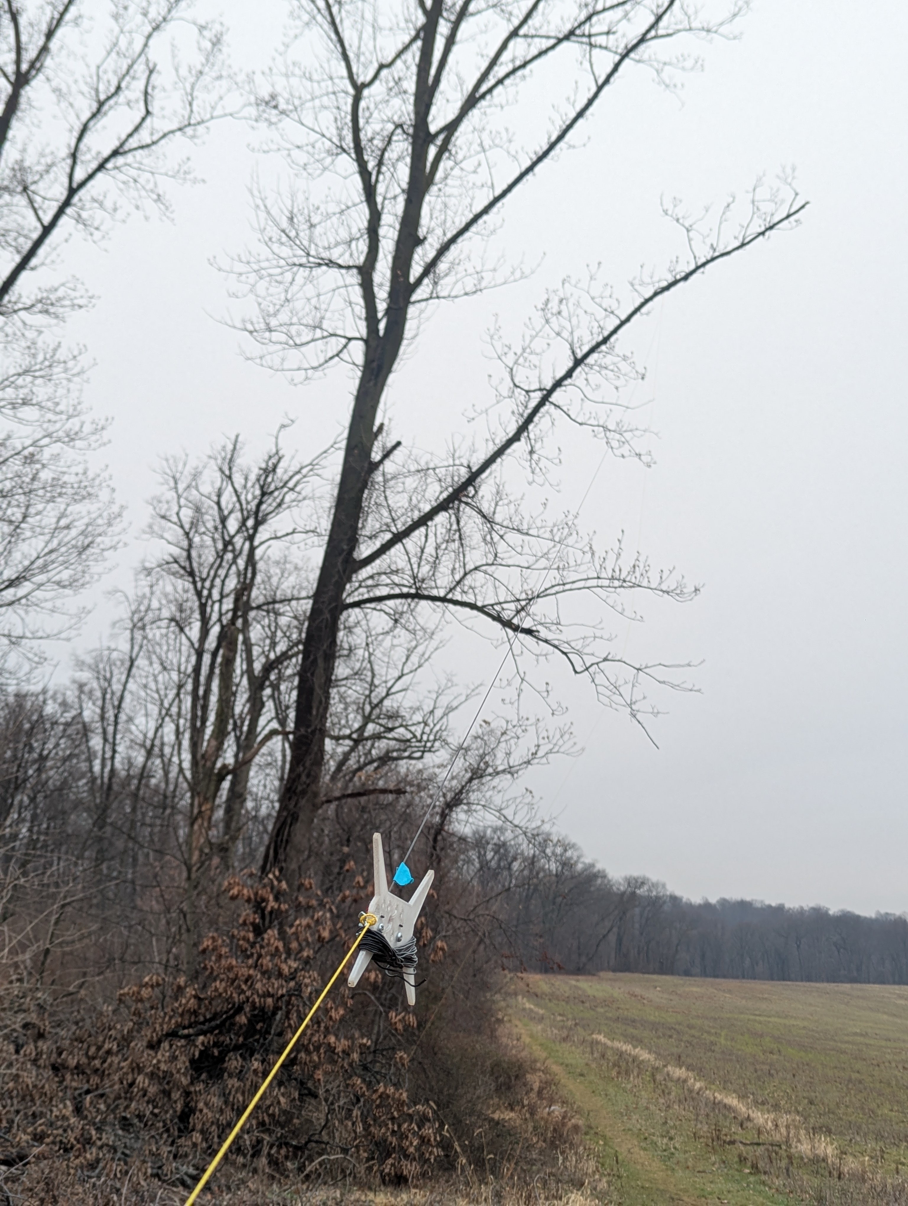
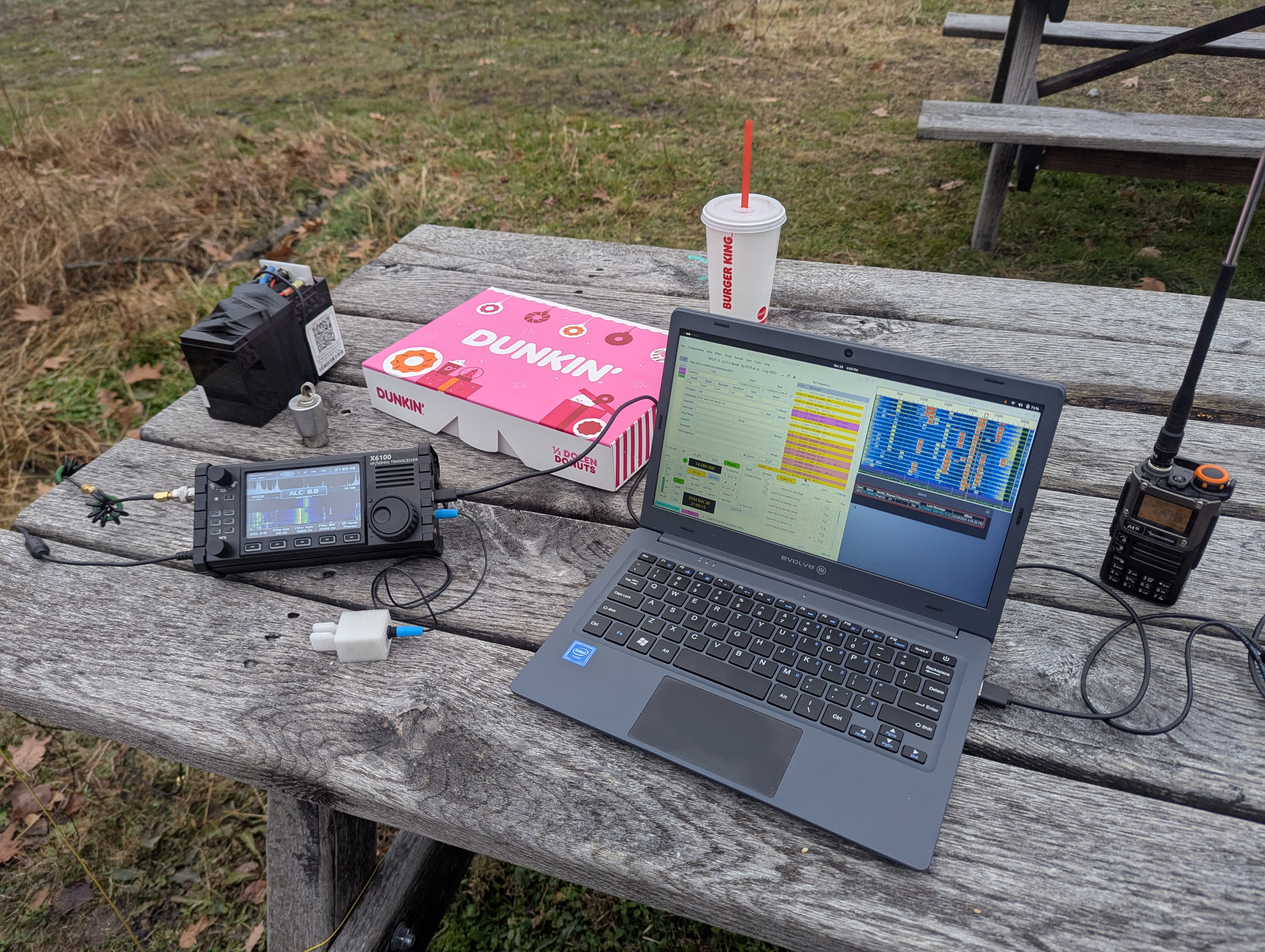
After breakfast, I hit the parks for some POTA. I started at Middle Creek where I tested my EFHW vs the Tactical Delta Loop.
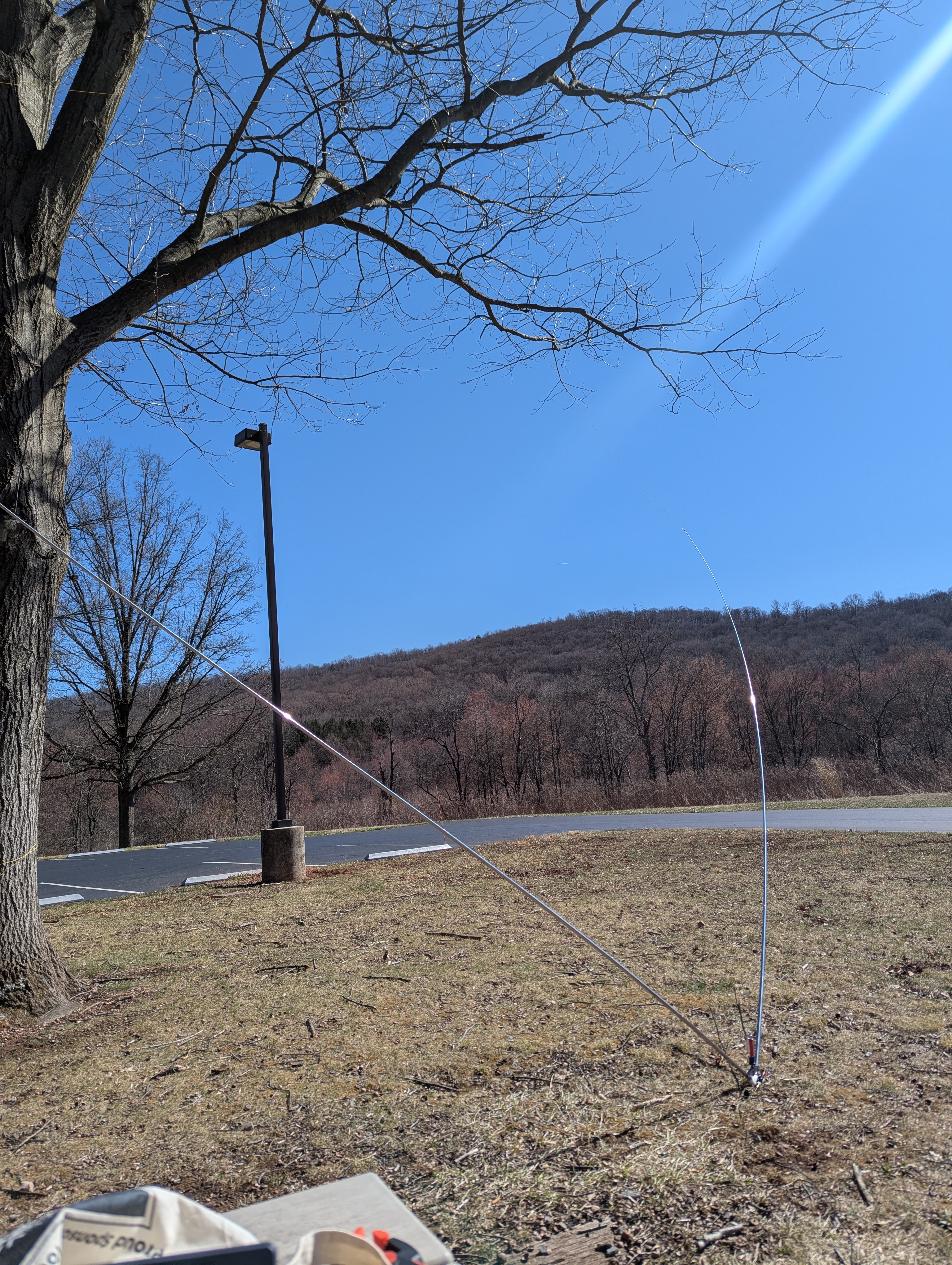
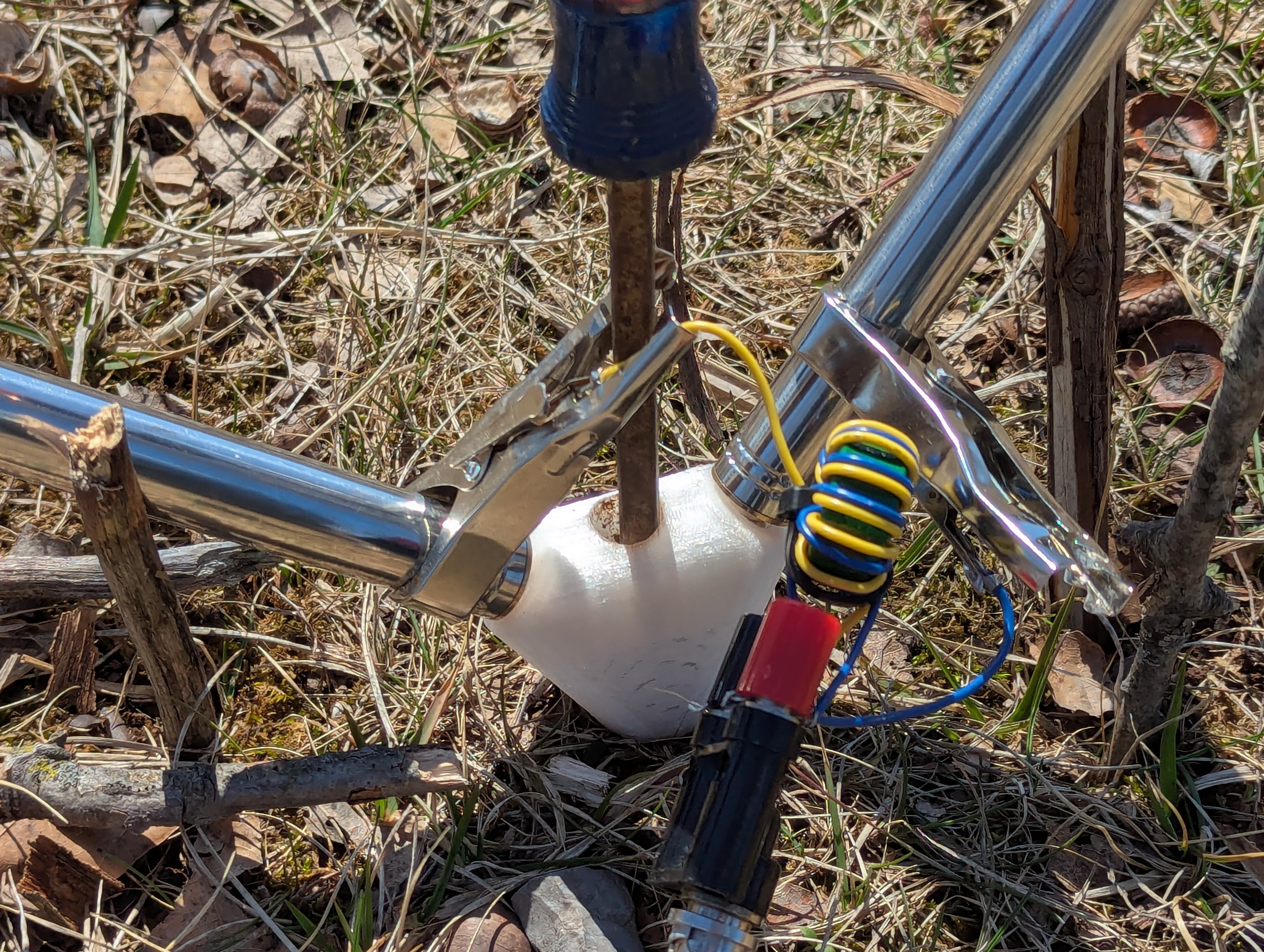
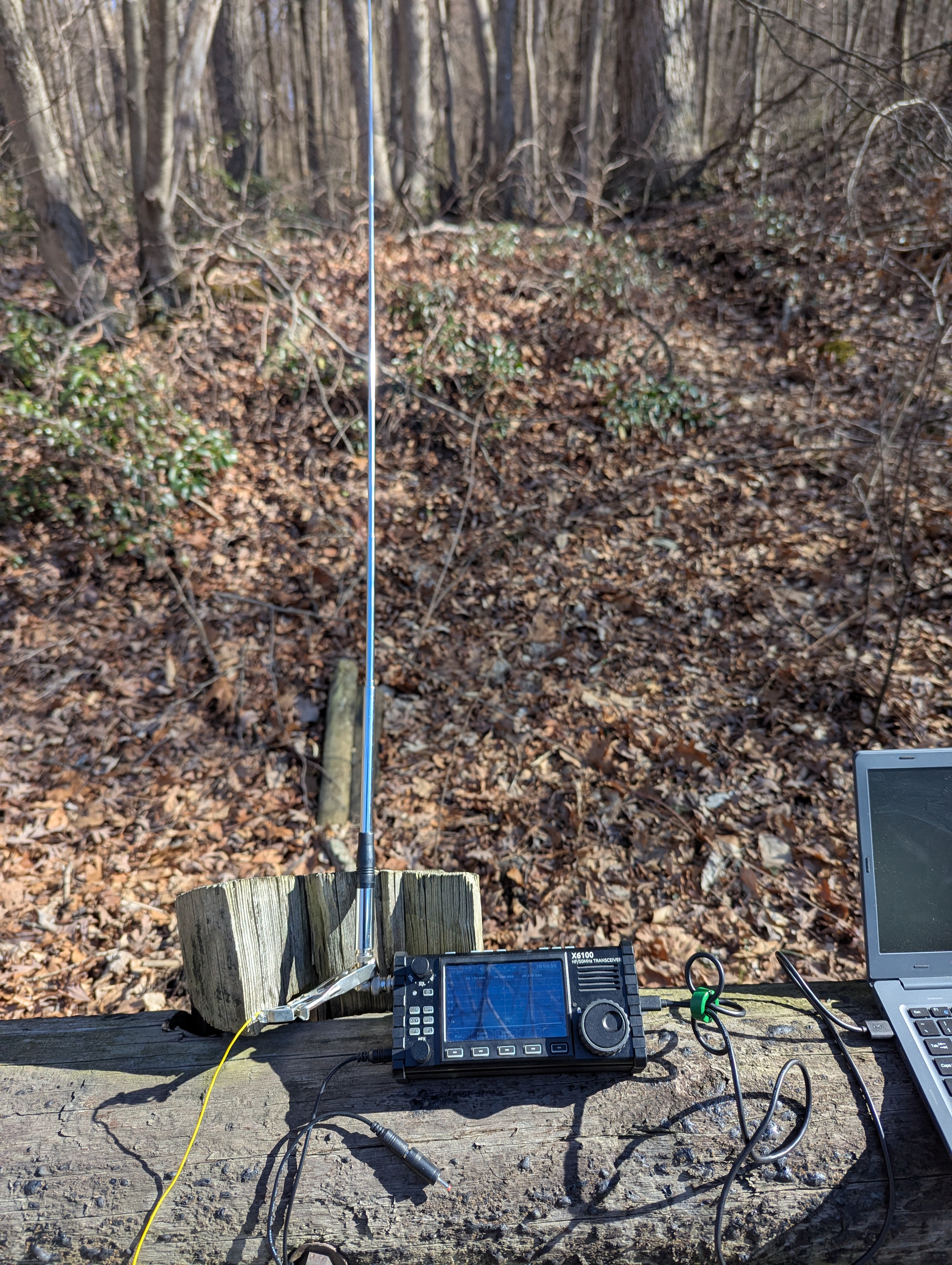
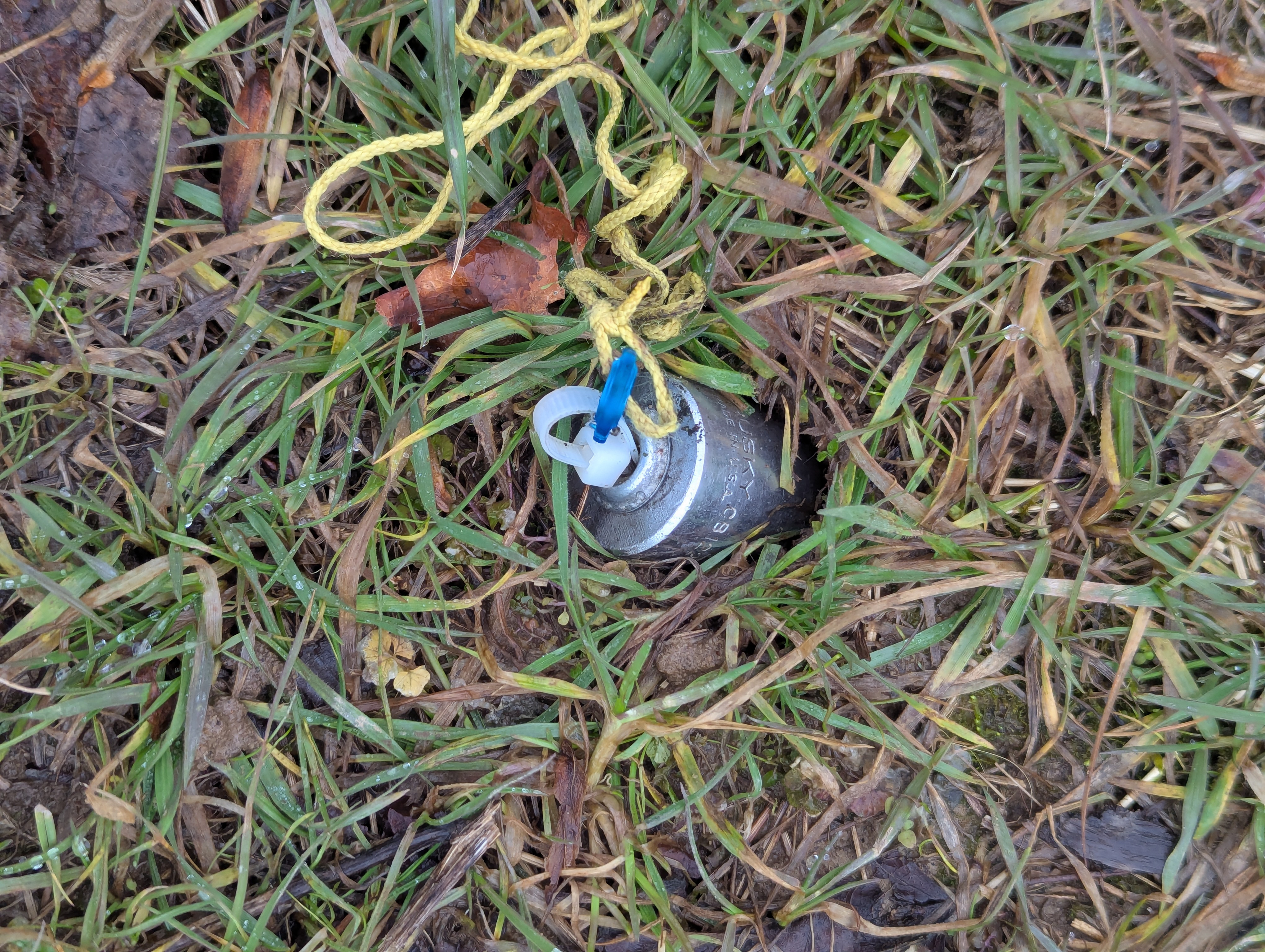
Next, I setup at State Game Land 156 down the road with the telescoping antenna for a CB walkie talkie.